|
©The Archaeological Settlements of Turkey - TAY Project
|
|
|
|
|
|
Kizilözün |
|
|
For site maps and drawings please click on the picture...  |
For photographs please click on the photo... 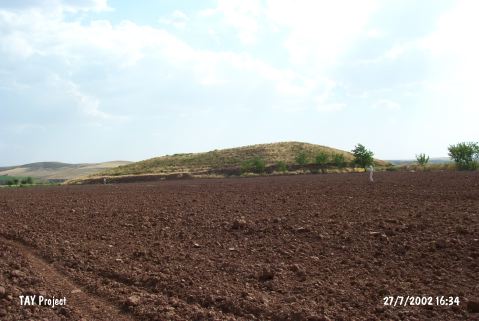 |
|
Type:
|
Mound |
|
Altitude:
|
955 m |
|
Region:
|
Central Anatolia |
|
Province:
|
Nevsehir |
|
District:
|
Avanos |
|
Village:
|
|
|
Investigation Method:
|
Survey |
|
Period:
|
|
|
|
|
 |
|
| It lies at Hüyükbükü Mevkii; 11.8 km northwest of Gülsehir District; north of Nevsehir Province. It is included among the big-sized mounds. It measures 20 m in height and 300x250 m in dimensions. it is located immediate south of the Avanos-Gülsehir motorway; northern bank of the Kizilirmak River. It was discovered in 1997 by S.Y. Senyurt. Presence of pits on the southern part and sherds probably dating from the EBA; the MBA-LBA; the Iron Age; the Hellenistic-Roman Periods was reported among the pottery collected from the surface. |
| Location: |
| Geography and Environment: |
| History: |
| Research and Excavation: |
| Stratigraphy: |
| Small Finds: |
| Remains: |
| Interpretation and Dating: |