|
©The Archaeological Settlements of Turkey - TAY Project
|
|
|
|
|
|
Kizilhisar |
|
|
For site maps and drawings please click on the picture...  |
For photographs please click on the photo... 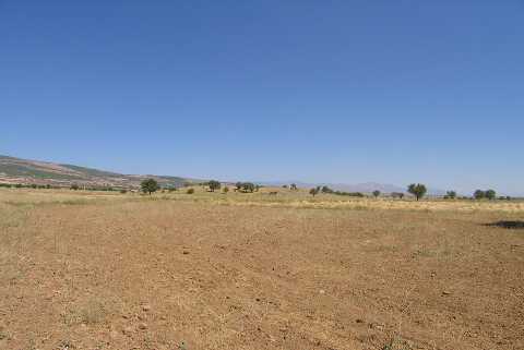 |
|
Type:
|
Mound |
|
Altitude:
|
920 m |
|
Region:
|
Aegean |
|
Province:
|
Denizli |
|
District:
|
Serinhisar |
|
Village:
|
Merkez |
|
Investigation Method:
|
Survey |
|
Period:
|
EBA II EBA III |
|
|
|
 |
|
| It is in the location known as Sam Höyük Mevkii; 3.2 km northeast of Serinhisar (Kizilhisar); 21 km northwest of Acipayam District; some 30-31 km southeast of Denizli Province. It is located on the northern end of the Acipayam Plain. It is an EBA II-III settlement. It was discovered by J. Mellaart. It is shown as Sam Höyük in the map of Denizli Culture Directorate. |
| Location: |
| Geography and Environment: |
| History: |
| Research and Excavation: |
| Stratigraphy: |
| Small Finds: |
| Remains: |
| Interpretation and Dating: |