|
©The Archaeological Settlements of Turkey - TAY Project
|
|
|
|
|
|
Kizilcabayir |
|
|
For site maps and drawings please click on the picture...  |
For photographs please click on the photo... 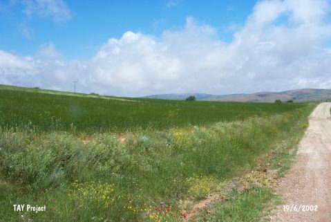 |
|
Type:
|
Flat Settlement |
|
Altitude:
|
975 m |
|
Region:
|
Marmara |
|
Province:
|
Bilecik |
|
District:
|
Sögüt |
|
Village:
|
Oluklu |
|
Investigation Method:
|
Survey |
|
Period:
|
|
|
|
|
 |
|
| It lies on the field located on the right of the road where it is known as Kizilcabayir; 2 km southwest of Oluklu Höyük; northwest of Eskisehir Province. It was discovered during the 1991 Kütahya; Bilecik and Eskisehir survey conducted by T. Efe. It covers an area of ca. 200 m in diameter. Samples of the coarse pasted; thick walled and simple profiled EBA pottery with a surface color varying from gray to grayish brown or brown were collected from the surface. |
| Location: |
| Geography and Environment: |
| History: |
| Research and Excavation: |
| Stratigraphy: |
| Small Finds: |
| Remains: |
| Interpretation and Dating: |