|
©The Archaeological Settlements of Turkey - TAY Project
|
|
|
|
|
|
Ansar Kalesi |
|
|
For site maps and drawings please click on the picture...  |
For photographs please click on the photo... 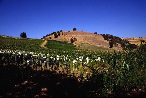 |
|
Type:
|
Mound |
|
Altitude:
|
605 m |
|
Region:
|
Black Sea |
|
Province:
|
Amasya |
|
District:
|
Tasova |
|
Village:
|
Çakirsu |
|
Investigation Method:
|
Survey |
|
Period:
|
|
|
|
|
 |
|
| It lies 1 km northeast of Çakirsu Village; 17 km southwest of Tasova. During the survey; sherds of the EBA were collected from the surface. It is laso known as Asar Kalesi. It takes place in the registered archaeological sites list prepared by Ministry of Culture and Tourism. |
| Location: |
| Geography and Environment: |
| History: |
| Research and Excavation: |
| Stratigraphy: |
| Small Finds: |
| Remains: |
| Interpretation and Dating: |