|
©The Archaeological Settlements of Turkey - TAY Project
|
|
|
|
|
|
Kirmizi - Acidere Sirtlari |
|
|
For site maps and drawings please click on the picture... 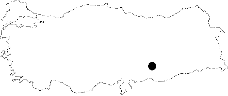 |
For photographs please click on the photo...  |
|
Type:
|
Habitation Site / Workshop |
|
Altitude:
|
m |
|
Region:
|
Southeastern Anatolia |
|
Province:
|
Adiyaman |
|
District:
|
Samsat |
|
Village:
|
Merkez |
|
Investigation Method:
|
Survey |
|
Period:
|
AP OP |
|
|
|
 |
|
| Location: This site; now flooded by the Atatürk Dam Lake; is in the province of Adiyaman; southeast of the city center; on the ridges between the Kirmizi and Acidere streams; 3 km northwest of the district of Samsat. Its survey code is T 50 / 21. |
| Geography and Environment: Tools were found in a 3.5 km wide area; on the plains near the Euphrates and in the valleys carved by streamlets. |
| History: |
| Research and Excavation: This Palaeolithic site was discovered during Özdogan's 1977 survey to record sites and historic monuments threatened by the flooding of the Atatürk Dam Lake. The artifacts and worked nodules of flint indicate that this open-air site was also used as a temporary campsite. It takes place in the registered archaeological sites list prepared by Ministry of Culture and Tourism. |
| Stratigraphy: |
| Small Finds: The recovered finds include a biface handaxe; large flakes and worked core tools. Özdogan assigns the tools to the Lower Palaeolithic; however; some of the retouched flake tools suggest that there may have also been some Middle Palaeolithic activity at the site. The site has since been completely submerged under the Atatürk Dam Lake. |
| Remains: |
| Interpretation and Dating: |