|
©The Archaeological Settlements of Turkey - TAY Project
|
|
|
|
|
|
Kirantepe |
|
|
For site maps and drawings please click on the picture...  |
For photographs please click on the photo... 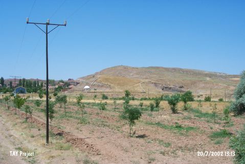 |
|
Type:
|
Mound |
|
Altitude:
|
720 m |
|
Region:
|
Central Anatolia |
|
Province:
|
Çorum |
|
District:
|
Sungurlu |
|
Village:
|
Inegazili |
|
Investigation Method:
|
Survey |
|
Period:
|
|
|
|
|
 |
|
| It stands on a natural hill while entering to Inegazili Village; west-northwest of Sungurlu; southwest of Çorum Province. It is a small mound. It measures 120x80 m in dimensions. It is used as the cemetery of the village at present. It was discovered by T. Sipahi and T. Yildirim in 1998. Handmade pottery with surface colors washed in varying tones of black and red was collected from the surface. |
| Location: |
| Geography and Environment: |
| History: |
| Research and Excavation: |
| Stratigraphy: |
| Small Finds: |
| Remains: |
| Interpretation and Dating: |