|
©The Archaeological Settlements of Turkey - TAY Project
|
|
|
|
|
|
Kirantepe |
|
|
For site maps and drawings please click on the picture...  |
For photographs please click on the photo... 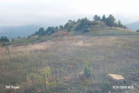 |
|
Type:
|
Mound |
|
Altitude:
|
1070 m |
|
Region:
|
Black Sea |
|
Province:
|
Sinop |
|
District:
|
Erfelek |
|
Village:
|
Çayirköy |
|
Investigation Method:
|
Survey |
|
Period:
|
|
|
|
|
 |
|
| It lies on the Sorgun road; 700 m west of Çayirköy of Erfelek District; southwest of Sinop Province. It was discovered during the Sinop Survey conducted by M.A. Isin. It measures 7-8 m in height and 75x40 m in dimensions. It has been damaged due to illicit digging. Limited number of EBA pottery was collected from the surface. It takes place in the registered archaeological sites list prepared by Ministry of Culture and Tourism. |
| Location: |
| Geography and Environment: |
| History: |
| Research and Excavation: |
| Stratigraphy: |
| Small Finds: |
| Remains: |
| Interpretation and Dating: |