|
©The Archaeological Settlements of Turkey - TAY Project
|
|
|
|
|
|
Kiranharmanyeri |
|
|
For site maps and drawings please click on the picture...  |
For photographs please click on the photo... 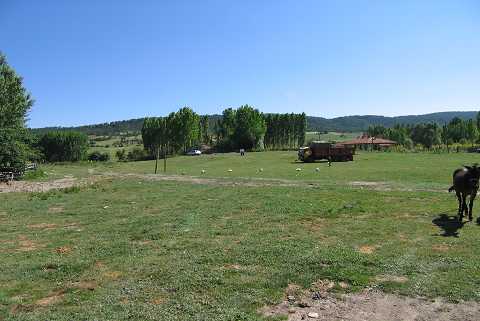 |
|
Type:
|
Mound |
|
Altitude:
|
1245 m |
|
Region:
|
Aegean |
|
Province:
|
Kütahya |
|
District:
|
Altintas |
|
Village:
|
Saraycik |
|
Investigation Method:
|
Survey |
|
Period:
|
EBA III |
|
|
|
 |
|
| It is located 300 m south of Saraycik Village; southwest of Altintas District of Kütahya Province. It is being used as the lower stockyard of the village. It was discovered in 1991 during a survey conducted by T. Efe in the region. It measures 4 m in height and 90 m in diameter. Materials of the EBA II; III and the first millennium BC were collected from the surface. |
| Location: |
| Geography and Environment: |
| History: |
| Research and Excavation: |
| Stratigraphy: |
| Small Finds: |
| Remains: |
| Interpretation and Dating: |