|
©The Archaeological Settlements of Turkey - TAY Project
|
|
|
|
|
|
Anberinharki |
|
|
For site maps and drawings please click on the picture...  |
For photographs please click on the photo... 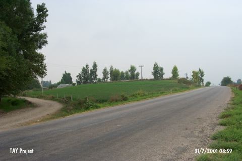 |
|
Type:
|
Mound |
|
Altitude:
|
110 m |
|
Region:
|
Mediterranean |
|
Province:
|
Osmaniye |
|
District:
|
Kadirli |
|
Village:
|
Anberinarki |
|
Investigation Method:
|
Survey |
|
Period:
|
|
|
|
|
 |
|
| The mound lies quite close to Anberinharki Village; 4.5 km south of Kadirli District of Osmaniye Province. It has been bisected by Osmaniye-Kadirli motorway. It is located on the western bank of the Savron Stream. It is a medium-sized mound. It measures 10 m in height and 120 m in diamater. It has been partly damaged by the road passing nearby. It was discovered during the Cilicia Surveys conducted by M.V. Seton Williams in 1951. Sherds of the Chalcolithic Age and straw tempered coarse ware of EBA were collected from the surface. Also found are samples of the metallic ware. The settlements of the first millennium BC and the Roman Period were followed by a Middle Age settlement. |
| Location: |
| Geography and Environment: |
| History: |
| Research and Excavation: |
| Stratigraphy: |
| Small Finds: |
| Remains: |
| Interpretation and Dating: |