|
©The Archaeological Settlements of Turkey - TAY Project
|
|
|
|
|
|
Kiliçli Höyük |
|
|
For site maps and drawings please click on the picture...  |
For photographs please click on the photo... 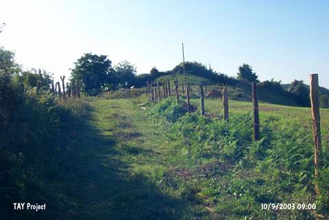 |
|
Type:
|
Mound |
|
Altitude:
|
155 m |
|
Region:
|
Black Sea |
|
Province:
|
Sinop |
|
District:
|
Merkez |
|
Village:
|
Kiliçli |
|
Investigation Method:
|
Survey |
|
Period:
|
|
|
|
|
 |
|
| It is located in Kiliçli Village; about 10 km southwest of Sinop Province. It stands on a natural hill. It measures 5-7 m in height and 110x70 m in dimensions. It was discovered in 1987 during the Sinop Survey conducted by M.A. Isin; and re-investigated by S. Dönmez in 1998. The survey conducted by M.A. Isin yielded only burnished; red; brown; beige and black colored EBA material with a grit; plant and seashell tempered fine paste. Limited number of red washed sherds was also collected. Forms of cups with pointed bases and handles and bowls with inverted rims were found. Dönmez reports the presence of sherds dating from the Late Chalcolithic; the EBA and the MBA. It takes place in the registered archaeological sites list prepared by Ministry of Culture and Tourism. |
| Location: |
| Geography and Environment: |
| History: |
| Research and Excavation: |
| Stratigraphy: |
| Small Finds: |
| Remains: |
| Interpretation and Dating: |