|
©The Archaeological Settlements of Turkey - TAY Project
|
|
|
|
|
|
Kildirik / Küçüktepe |
|
|
For site maps and drawings please click on the picture...  |
For photographs please click on the photo... 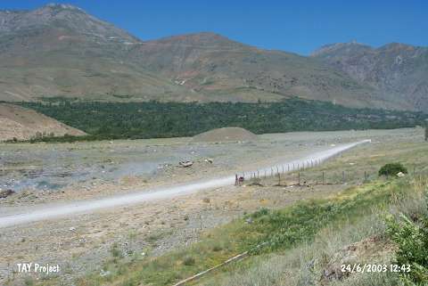 |
|
Type:
|
Mound |
|
Altitude:
|
1320 m |
|
Region:
|
Eastern Anatolia |
|
Province:
|
Erzincan |
|
District:
|
Üzümlü |
|
Village:
|
Üzümlü |
|
Investigation Method:
|
Survey |
|
Period:
|
EBA II |
|
|
|
 |
|
| It lies about 2.5 km north of Altintepe between Cimin District and Altintepe; east of Erzincan Province. Erzincan-Erzurum motorway passes from 2 km west-southwest of the settlement. The village of Geyikli is located to the north-northwest of the mound. It was discovered during the Altintepe excavations in 1961. Özgüç reports the presence of sherds belonging to both Altintepe and Karaz ware dating from the EBA on the surface. In the meantime; S. Güneri reports about Kildirik Höyük in the valley; next to the Üzümlü Stream. They are probably the same site. It is reported that Hildirik Höyük houses a small settlement of 83 m in diameter. Relief decorated pottery with a black surface color and coarse ware; and dark red-black colored pottery with a straw tempered ware were collected from the surface [Güner 1992:162]. It takes place in the registered archaeological sites list prepared by Ministry of Culture and Tourism. |
| Location: |
| Geography and Environment: |
| History: |
| Research and Excavation: |
| Stratigraphy: |
| Small Finds: |
| Remains: |
| Interpretation and Dating: |