|
©The Archaeological Settlements of Turkey - TAY Project
|
|
|
|
|
|
Anberinharki |
|
|
For site maps and drawings please click on the picture...  |
For photographs please click on the photo... 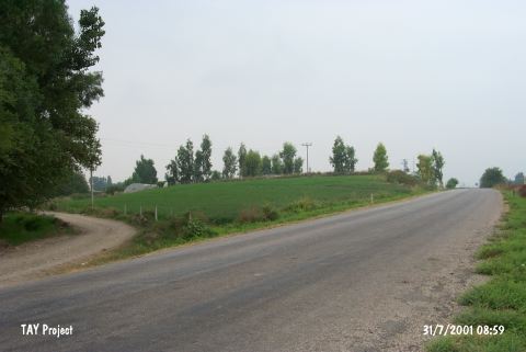 |
|
Type:
|
Mound |
|
Altitude:
|
110 m |
|
Region:
|
Mediterranean |
|
Province:
|
Osmaniye |
|
District:
|
Kadirli |
|
Village:
|
Anberinarki |
|
Investigation Method:
|
Survey |
|
Period:
|
Middle |
|
|
|
 |
|
| The mound lies quite close to the Anberinharki Village; 4.5 km south of the Kadirli District of the Osmaniye Province. It has been divided by the Osmaniye-Kadirli motorway. The Chevron stream runs east of the mound. It is 10m in height and 120m in diameter. Potsherds were collected during the Cilicia Survey conducted by M.V. Seton-Williams in 1951. Except for the MBA; the settlements from the Chalcolithic Age to the Medieval Age were observed. The mound is supposed to be dated back to the 9th phase in ASPRO regarding the stratigraphy of Korucutepe. |
| Location: |
| Geography and Environment: |
| History: |
| Research and Excavation: |
| Stratigraphy: |
| Small Finds: |
| Remains: |
| Interpretation and Dating: |