|
©The Archaeological Settlements of Turkey - TAY Project
|
|
|
|
|
|
Kefri |
|
|
For site maps and drawings please click on the picture...  |
For photographs please click on the photo... 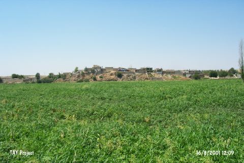 |
|
Type:
|
Mound |
|
Altitude:
|
470 m |
|
Region:
|
Southeastern Anatolia |
|
Province:
|
Gaziantep |
|
District:
|
Nizip |
|
Village:
|
Suboyu |
|
Investigation Method:
|
Survey |
|
Period:
|
Middle Late |
|
|
|
 |
|
| The conical; 280x140 m mound; measuring 13 m in height; lies east of Gaziantep and of Nizip district; on the west bank of Euphrates; below Suboyu (Kefre) village. The eastern section of the mound is cut by the river. Incised Coba bowls of Late Ubaid Period; beveled rim and rim slipped bowls of Uruk Period were recovered from the lower part of the section caused by the river. EBA; EBA 3/ MBA 1 sherds were collected by the team directed by Algaze from the upper part of the section. It has been interpretated that Late Ubaid Period and Middle / Late Uruk Period settlements exist at the mound. The site is going to be inundated by Karkamis Dam. It takes place in the registered archaeological sites list prepared by Ministry of Culture and Tourism. |
| Location: |
| Geography and Environment: |
| History: |
| Research and Excavation: |
| Stratigraphy: |
| Small Finds: |
| Remains: |
| Interpretation and Dating: |