|
©The Archaeological Settlements of Turkey - TAY Project
|
|
|
|
|
|
Keferdiz |
|
|
For site maps and drawings please click on the picture... 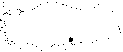 |
For photographs please click on the photo...  |
|
Type:
|
Single Findspot |
|
Altitude:
|
m |
|
Region:
|
Mediterranean |
|
Province:
|
Gaziantep |
|
District:
|
Nurdagi |
|
Village:
|
Sakçagözü |
|
Investigation Method:
|
Survey |
|
Period:
|
OP |
|
|
|
 |
|
| Location: This site is between Coba Höyük and the town of Keferdiz (also called Sakçegözü); 45 km northwest of the city of Gaziantep; in the northwest of the province. |
| Geography and Environment: Perrot has not described the geographical setting of this site. There are three mounds in this part of Gaziantep on the Islahiye Plain; which borders the southern Anatolian "Mediterranean" Region. These mounds include Songrus Höyük to the west; Keferdis Höyük to the east and Coba Höyük in the middle. Of these three mounds; Keferdiz is archaeologically the least important. The area is rich in water sources. |
| History: |
| Research and Excavation: The site was discovered by Perrot in 1961; who found some chipped stone tools close to the town of Keferdiz. As we do not have the find densities or the dimensions of the overall range of this site; it cannot be classified as a habitation site. Some of the tools from this site were slightly abraded. It takes place in the registered archaeological sites list prepared by Ministry of Culture and Tourism. |
| Stratigraphy: |
| Small Finds: Perrot found some Moustérien flintstone tools including a teardrop-shaped biface handaxe [Perrot 1962:fig.9]. He does not provide any typological information on the characteristics of this biface. The random-incipient retouching of most of the flakes is occasionally on both faces. Some of the tools are abraded and have a yellowish-orange patina. |
| Remains: |
| Interpretation and Dating: |