|
©The Archaeological Settlements of Turkey - TAY Project
|
|
|
|
|
|
Keçikalesi |
|
|
For site maps and drawings please click on the picture...  |
For photographs please click on the photo... 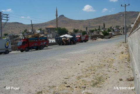 |
|
Type:
|
Slope Settlement |
|
Altitude:
|
1405 m |
|
Region:
|
Central Anatolia |
|
Province:
|
Nigde |
|
District:
|
Bor |
|
Village:
|
Keçikalesi |
|
Investigation Method:
|
Survey |
|
Period:
|
EBA II |
|
|
|
 |
|
| The village of Keçikalesi; 48 km west of Nigde Province lies on the southern slope of the Hasan Dagi. Ruins of the castle; where the village was named after; are located 1.5 km west of the village. It is claimed that a painting decorated jug out of the metallic ware preserved in the Museum of Nigde (for details; please see Çayhan/Çakmak) was recovered from this site or the surrounding territory [Öztan 1989:draw.4]. The land is rocky. |
| Location: |
| Geography and Environment: |
| History: |
| Research and Excavation: |
| Stratigraphy: |
| Small Finds: |
| Remains: |
| Interpretation and Dating: |