|
©The Archaeological Settlements of Turkey - TAY Project
|
|
|
|
|
|
Kayaönü Mevkii |
|
|
For site maps and drawings please click on the picture... 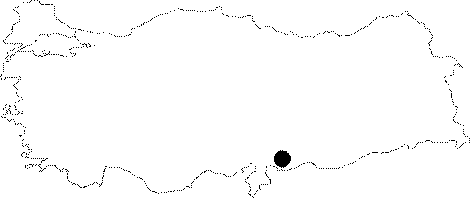 |
For photographs please click on the photo...  |
|
Type:
|
Single Findspot |
|
Altitude:
|
m |
|
Region:
|
Southeastern Anatolia |
|
Province:
|
Gaziantep |
|
District:
|
Merkez |
|
Village:
|
Ibrahimli |
|
Investigation Method:
|
Survey |
|
Period:
|
AP |
|
|
|
 |
|
| Location: Although it is unclear; in the map published by Çiner this site appears to be northwest of the city of Gaziantep. Above we have tried to place the site in an approximate location near Kayali Tepe. |
| Geography and Environment: There are many vineyards in this region; which is fertile because of the Sulu Dere Stream. The site is now threatened by the suburbs of the growing city of Gaziantep. |
| History: |
| Research and Excavation: This site was discovered by Refakat Çiner during her survey of the Gazinatep region in 1950. The name "Kayaönü Mevkii"; which literally means "the region in front of the cliff"; does not appear on a 1:100.000 map. However; because there is a rock outcrop here; "Kayali Tepe" (literally "rocky hill"); we have concluded that site must be located by its foot. |
| Stratigraphy: |
| Small Finds: Çiner reports that she found a Chelléen (Abbevillien) bifacially worked flint handaxe; which she assigns to the Lower Palaeolithic; in the district of Kayaönü [Çiner 1958:126]. Yalçinkaya; who confirms that this site was discovered by Çiner; does not provide further information on the biface [Yalçinkaya 1985:417]. |
| Remains: |
| Interpretation and Dating: |