|
©The Archaeological Settlements of Turkey - TAY Project
|
|
|
|
|
|
Alyahanun |
|
|
For site maps and drawings please click on the picture...  |
For photographs please click on the photo... 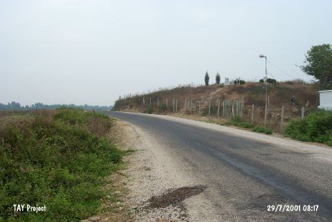 |
|
Type:
|
Mound |
|
Altitude:
|
65 m |
|
Region:
|
Mediterranean |
|
Province:
|
Adana |
|
District:
|
Karatas |
|
Village:
|
Yerdelen |
|
Investigation Method:
|
Survey |
|
Period:
|
|
|
|
|
 |
|
| The mound lies 1.2 km northeast of Yerdelen Village; 19 km south-southwest of Adana Province. It is located 100 m off the eastern bank of the Seyhan River. It is an oval shaped big mound. It measures 20 m in height and 120x60 m in dimensions. One part of the mound has been destroyed due to the farm houses and a cemetery from the Islamic Period. Sherds of the Chalcolithic Age and the EBA were recovered from the southern side of the mound. It is claimed that the settlement was controlling the passage on the Seyhan River. During the survey conducted by M.V. Seton-Williams; straw-tempered coarse ware was recovered [Seton-Williams 1954:148]. |
| Location: |
| Geography and Environment: |
| History: |
| Research and Excavation: |
| Stratigraphy: |
| Small Finds: |
| Remains: |
| Interpretation and Dating: |