|
©The Archaeological Settlements of Turkey - TAY Project
|
|
|
|
|
|
Kavlaklar / Himepara Höyük |
|
|
For site maps and drawings please click on the picture...  |
For photographs please click on the photo... 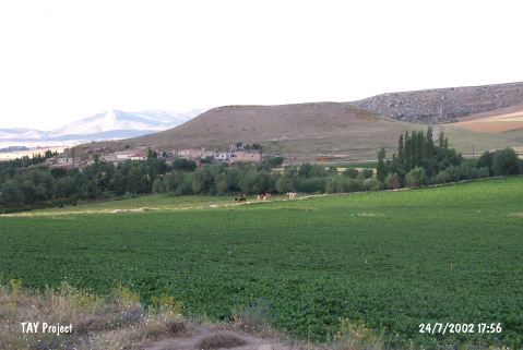 |
|
Type:
|
Mound |
|
Altitude:
|
1505 m |
|
Region:
|
Central Anatolia |
|
Province:
|
Kayseri |
|
District:
|
Pinarbasi |
|
Village:
|
Kavlaklar |
|
Investigation Method:
|
Survey |
|
Period:
|
|
|
|
|
 |
|
| It is located in Taslik quarter of Kavlaklar Village; south of Pazarören; east-southeast of Kayseri Province. It stands on a rocky elevation on the river basin. It is an oval conic mound. It measures 40 m in height together with the elevation underneath and 90x175 m in dimensions. The flat top of the mound overlooks the south and the north. It was discovered by J.M. Brown in 1965. The material collected from the surface was analyzed by G. H. Brown. Pottery of plain red ware; mottled wash ware; Alisar III ware were recovered. Also; settlements of the second and first millennia BC have been attested. |
| Location: |
| Geography and Environment: |
| History: |
| Research and Excavation: |
| Stratigraphy: |
| Small Finds: |
| Remains: |
| Interpretation and Dating: |