|
©The Archaeological Settlements of Turkey - TAY Project
|
|
|
|
|
|
Kavaklikahve |
|
|
For site maps and drawings please click on the picture... 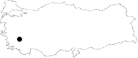 |
For photographs please click on the photo... 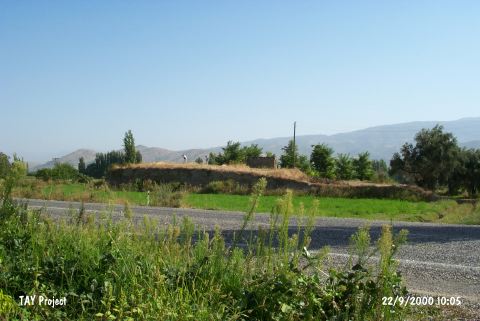 |
|
Type:
|
Mound |
|
Altitude:
|
55 m |
|
Region:
|
Aegean |
|
Province:
|
Aydin |
|
District:
|
Bozdogan |
|
Village:
|
Kavakli |
|
Investigation Method:
|
Survey |
|
Period:
|
|
|
|
|
 |
|
| It lies 800 m north of Kavaklikahveleri Mevkii; east of the Nazilli-Bozdogan motorway; 2 km northeast of Kavakli Village; 13 km north of Bozdogan District; southeast of Aydin Province. It was discovered by J. Mellaart; and investigated by R.T. Marchese and E. Akdeniz. It measures 5-6 m in height and 40x30 m in dimensions. Ruins of an old house lie on the top hill. Pottery belonging to the Neolithic Age; the EBA and the Classical Period was collected from the surface. Pits opened by the treasure hunters are visible on the top hill and the slopes. |
| Location: |
| Geography and Environment: |
| History: |
| Research and Excavation: |
| Stratigraphy: |
| Small Finds: |
| Remains: |
| Interpretation and Dating: |