|
©The Archaeological Settlements of Turkey - TAY Project
|
|
|
|
|
|
Katirdami / Tepecik |
|
|
For site maps and drawings please click on the picture...  |
For photographs please click on the photo... 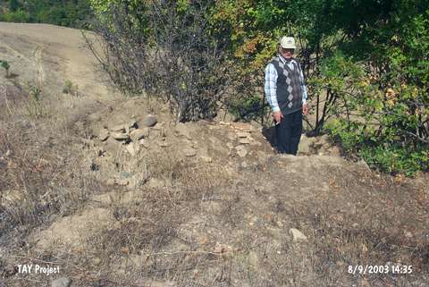 |
|
Type:
|
Mound |
|
Altitude:
|
200 m |
|
Region:
|
Black Sea |
|
Province:
|
Samsun |
|
District:
|
Bafra |
|
Village:
|
Pasaseyh |
|
Investigation Method:
|
Survey |
|
Period:
|
|
|
|
|
 |
|
| It is located in the village of Tepecik; southeast of the district of Bafra in the province of Samsun. To the east-northeast is the Elmacik Tepesi of the village of Türkköy and the village of Pasaseyh. Büyük Çay; which joins the Kizilirmak River; flows from the east-southeast of the mound. |
| Location: |
| Geography and Environment: |
| History: |
| Research and Excavation: |
| Stratigraphy: |
| Small Finds: |
| Remains: |
| Interpretation and Dating: |