|
©The Archaeological Settlements of Turkey - TAY Project
|
|
|
|
|
|
Kartal |
|
|
For site maps and drawings please click on the picture... 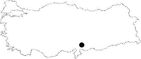 |
For photographs please click on the photo...  |
|
Type:
|
Single Findspot |
|
Altitude:
|
m |
|
Region:
|
Southeastern Anatolia |
|
Province:
|
Gaziantep |
|
District:
|
Nurdagi |
|
Village:
|
Kartalköy |
|
Investigation Method:
|
Survey |
|
Period:
|
AP |
|
|
|
 |
|
| Location: This site is west-northwest of the city of Gaziantep; northeast of Mount Kartal; in the village of Kartal; 9 km southeast of the town of Sakçegözü (Keferdiz). Although Bostanci reports that this site is 90 km from the city of Gaziantep; the only village of Kartal in the province lies 37 km; as the crow flies; west of the city. Bostanci must be reporting the distance that he recorded using the speedometer of the vehicle he used to get to the site. It is therefore assumed that the village is indeed Kartal. |
| Geography and Environment: The vicinity of Mount Kartal is extremely hilly. Bostanci does not provide further information on the location of the site. On the terraces and flanks of the valley there are a large number of flintstone nodules. There are probably many rock-shelters and caves in the area. |
| History: |
| Research and Excavation: In the survey he conducted around this village in 1954; Enver Bostanci located many Palaeolithic finds. It is not certain whether these finds were brought to this location by natural agents. It is also not clarified whether the artifacts collected are actual tools or only flakes and debitage products. |
| Stratigraphy: |
| Small Finds: In his surface survey; Bostanci found a small Upper Acheuléen (Micoquien) biface almond-shaped handaxe; 6.9x5.9x4.8 cm in size. Very small flakes were removed from both faces of the tool. While the crest on the upper face extends to the distal end; the lower face and distal edge are flat [Bostanci 1963a:fig X]. The quality of flint of this tool resembles Dülük flint. Tomsky characterizes this tool as Upper Acheuléen [Tomsky 1982:237]. |
| Remains: |
| Interpretation and Dating: |