|
©The Archaeological Settlements of Turkey - TAY Project
|
|
|
|
|
|
Karga Tepesi |
|
|
For site maps and drawings please click on the picture...  |
For photographs please click on the photo... 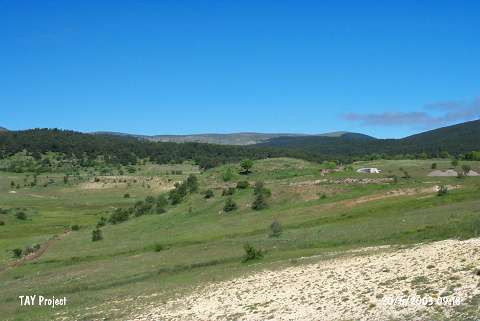 |
|
Type:
|
Mound |
|
Altitude:
|
1510 m |
|
Region:
|
Black Sea |
|
Province:
|
Ordu |
|
District:
|
Mesudiye |
|
Village:
|
Çardakli |
|
Investigation Method:
|
Survey |
|
Period:
|
|
|
|
|
 |
|
| It lies 2 km west of Çardakli Village of Mesudiye District; south of Ordu Province. It is located in the middle of a large plain. It measures ca. 60x80 m in dimensions. It was discovered during the 1991 Ordu-Mesudiye Survey conducted by M. Özsait. It is dated to the EBA in accordance with the sherds collected from the surface. Also some samples belonging to the Chalcolithic Age were recovered. |
| Location: |
| Geography and Environment: |
| History: |
| Research and Excavation: |
| Stratigraphy: |
| Small Finds: |
| Remains: |
| Interpretation and Dating: |