|
©The Archaeological Settlements of Turkey - TAY Project
|
|
|
|
|
|
Karga Tepesi |
|
|
For site maps and drawings please click on the picture...  |
For photographs please click on the photo... 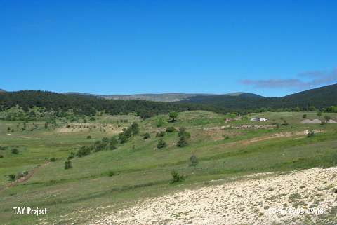 |
|
Type:
|
Mound |
|
Altitude:
|
1510 m |
|
Region:
|
Black Sea |
|
Province:
|
Ordu |
|
District:
|
Mesudiye |
|
Village:
|
Çardakli |
|
Investigation Method:
|
Survey |
|
Period:
|
|
|
|
|
 |
|
| The 60x80 m mound; located on a natural elevation in a wide plain; lies southwest of Ordu and of Mesudiye; 2 km west of Çardakli village. It measures 3 m in height; and was discovered during the Mesudiye Regional Survey conducted by M. Özsait in 1991. According to him; Chalcolithic Age and EBA sherds are existent at the site. |
| Location: |
| Geography and Environment: |
| History: |
| Research and Excavation: |
| Stratigraphy: |
| Small Finds: |
| Remains: |
| Interpretation and Dating: |