|
©The Archaeological Settlements of Turkey - TAY Project
|
|
|
|
|
|
Karaseyh |
|
|
For site maps and drawings please click on the picture...  |
For photographs please click on the photo... 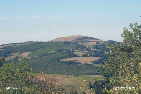 |
|
Type:
|
Mound |
|
Altitude:
|
300 m |
|
Region:
|
Black Sea |
|
Province:
|
Samsun |
|
District:
|
Bafra |
|
Village:
|
Terzili |
|
Investigation Method:
|
Survey |
|
Period:
|
|
|
|
|
 |
|
| It lies on a natural hill in the Karaseyh quarter; northwest of the village of Terzili; south of the district of Bafra in the province of Samsun. The mound is locally known as Tepecik. |
| Location: |
| Geography and Environment: |
| History: |
| Research and Excavation: |
| Stratigraphy: |
| Small Finds: |
| Remains: |
| Interpretation and Dating: |