|
©The Archaeological Settlements of Turkey - TAY Project
|
|
|
|
|
|
Karasil 1 |
|
|
For site maps and drawings please click on the picture...  |
For photographs please click on the photo... 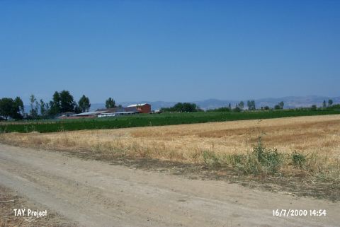 |
|
Type:
|
Mound |
|
Altitude:
|
300 m |
|
Region:
|
Marmara |
|
Province:
|
Bursa |
|
District:
|
Yenisehir |
|
Village:
|
Karasil |
|
Investigation Method:
|
Survey |
|
Period:
|
EBA II EBA III |
|
|
|
 |
|
| It lies on the western bank of the Kocasuyu Stream; 1.5 km east of Karasil Village; southwest of Yenisehir District; Bursa Province. It is located northeast of the road between Söylemis and Karasil villages; northeast of Karadere (Ayaz) Stream. This area is locally known as Harmanlar Mevkii (Tepealti Mevkii) or Koca Kavak Alti. The mound measures 75x2 m. It was discovered in 1961 by D.H. French. Majority of the EBA pottery collected from the surface includes pottery called black and black rimmed ware of Yenisehir by D.H. French; also known as black burnished ware of Demircihöyük. Also found are the red washed ware; the burnished; fine washed ware and the gray washed ware. Forms of flat bowls are common. |
| Location: |
| Geography and Environment: |
| History: |
| Research and Excavation: |
| Stratigraphy: |
| Small Finds: |
| Remains: |
| Interpretation and Dating: |