|
©The Archaeological Settlements of Turkey - TAY Project
|
|
|
|
|
|
Karamkuru Tepe |
|
|
For site maps and drawings please click on the picture...  |
For photographs please click on the photo... 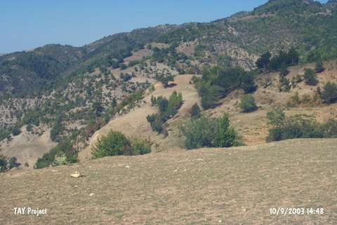 |
|
Type:
|
Mound |
|
Altitude:
|
655 m |
|
Region:
|
Black Sea |
|
Province:
|
Sinop |
|
District:
|
Gerze |
|
Village:
|
Yaykin |
|
Investigation Method:
|
Survey |
|
Period:
|
|
|
|
|
 |
|
| It lies 1 km far from Yaykin Village; north of the Kanliçay Stream between the Yaykin and Akçakese Villages; about 45 km southeast of Gerze District of Sinop Province. It was discovered during the Sinop Survey conducted by M.A. Isin. It measures 6-7 m in height and 100 m in diameter. It is dated to the EBA. The pottery is of burnished ware with a grit; plant and seashell tempered paste. |
| Location: |
| Geography and Environment: |
| History: |
| Research and Excavation: |
| Stratigraphy: |
| Small Finds: |
| Remains: |
| Interpretation and Dating: |