|
©The Archaeological Settlements of Turkey - TAY Project
|
|
|
|
|
|
Altinoluk |
|
|
For site maps and drawings please click on the picture...  |
For photographs please click on the photo... 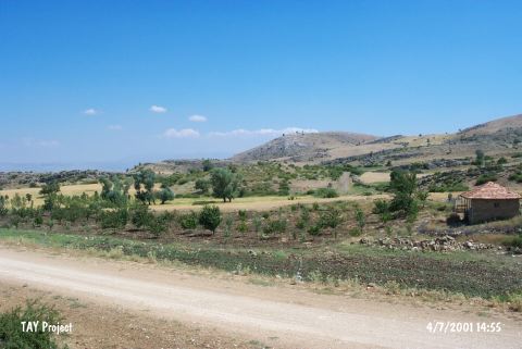 |
|
Type:
|
Mound |
|
Altitude:
|
1250 m |
|
Region:
|
Mediterranean |
|
Province:
|
Isparta |
|
District:
|
Yalvaç |
|
Village:
|
Tokmacik |
|
Investigation Method:
|
Survey |
|
Period:
|
EBA I EBA II |
|
|
|
 |
|
| It lies south of the Tokmacik - Yukaritirtar motorway; approximately 3 km northwest of Tokmacik Village; 18 km southwest of Yalvaç District of Isparta Province. There is a fountain on the foothill. It was discovered during the surveys conducted by M. Özsait in 1985-86. It stands on a natural hill. It measures 60x90x7 m. Pottery dating back to the EBA I and II was collected from the surface. It takes place in the registered archaeological sites list prepared by Ministry of Culture and Tourism. |
| Location: |
| Geography and Environment: |
| History: |
| Research and Excavation: |
| Stratigraphy: |
| Small Finds: |
| Remains: |
| Interpretation and Dating: |