|
©The Archaeological Settlements of Turkey - TAY Project
|
|
|
|
|
|
Karakurt |
|
|
For site maps and drawings please click on the picture... 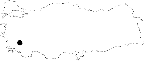 |
For photographs please click on the photo... 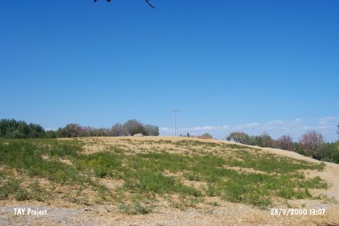 |
|
Type:
|
Mound |
|
Altitude:
|
330 m |
|
Region:
|
Aegean |
|
Province:
|
Denizli |
|
District:
|
Merkez |
|
Village:
|
Karakurt |
|
Investigation Method:
|
Survey |
|
Period:
|
Ceramic |
|
|
|
 |
|
| This site lies 4-5 km east of the city of Denizli; approximately 750 m south of the village of Karakurt. The southern and eastern sides of the mound lie above a rocky outcrop. There is a fresh water spring by these rock outcrops beneath the mound. The site was discovered during the surface survey led by D.H. French in 1960. Although not confirmed; the finds from this site were dated to the Late Neolithic; Late Chalcolithic and Early Bronze Age. Plain; burnished ware was found. The ware; which is usually red but can also be blackish-gray in color; is chaff tempered. Bowls and jars are the most common vessel types. This type of ware is assigned to the Late Neolithic and dated to the end of the sixth millennium BC. It takes place in the registered archaeological sites list prepared by Ministry of Culture and Tourism. The mound appears in the Denizli Culture Inventory which was achieved after the surveys organized by the Denizli Province Culture and Tourism Directorship in 2011. It measures 200 m in length in north-south direction and 80 m in width in the northwest-southeast direction. It is about 15 m in height. |
| Location: |
| Geography and Environment: |
| History: |
| Research and Excavation: |
| Stratigraphy: |
| Small Finds: |
| Remains: |
| Interpretation and Dating: |