|
©The Archaeological Settlements of Turkey - TAY Project
|
|
|
|
|
|
Altinkasi Höyük |
|
|
For site maps and drawings please click on the picture...  |
For photographs please click on the photo... 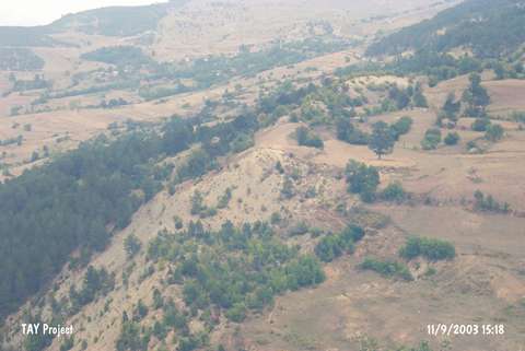 |
|
Type:
|
Slope Settlement |
|
Altitude:
|
915 m |
|
Region:
|
Black Sea |
|
Province:
|
Sinop |
|
District:
|
Gerze |
|
Village:
|
Sarimsak |
|
Investigation Method:
|
Survey |
|
Period:
|
|
|
|
|
 |
|
| It lies in the Kocaali Quarter of Sarimsak Village; to the southwest of the village; about 20 km south of Gerze District; southeast of Sinop Province. The mound is to the east of the village of Tatlicak and south-southeast of Sarimsak Stream. To the south-southwest is the hill known as Maltepe/Sarimsak. It was discovered during the Sinop Survey conducted by M.A. Isin. Limited number of material is dated to the EBA. It takes place in the registered archaeological sites list prepared by Ministry of Culture and Tourism. |
| Location: |
| Geography and Environment: |
| History: |
| Research and Excavation: |
| Stratigraphy: |
| Small Finds: |
| Remains: |
| Interpretation and Dating: |