|
©The Archaeological Settlements of Turkey - TAY Project
|
|
|
|
|
|
Karahöyük |
|
|
For site maps and drawings please click on the picture...  |
For photographs please click on the photo... 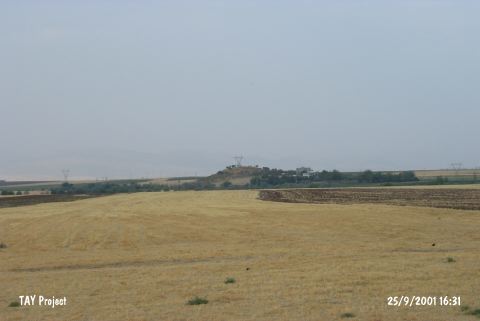 |
|
Type:
|
Mound |
|
Altitude:
|
520 m |
|
Region:
|
Southeastern Anatolia |
|
Province:
|
Adiyaman |
|
District:
|
Merkez |
|
Village:
|
Güzelyurt |
|
Investigation Method:
|
Survey |
|
Period:
|
EBA III |
|
|
|
 |
|
| It lies northwest of the Karahöyük Quarter of Güzelyurt (Karahöyük) Village; 1 km east of Hasankendi Village and about 7.5 km southwest of Adiyaman Province. It is a medium-sized mound. It measures 20 m in height and 125 m in diamater. It is not included in the 1:100.000 map. Samples of the painted ware dating from the EBA III were found during the surface collection. It takes place in the registered archaeological sites list prepared by Ministry of Culture and Tourism. The mound was visited during the survey conducted by S. Ezer and his team in 2013. Along with the pot sherds dating to 4th millennium BC, 2nd and 3rd millennium BC pot sherds were seen on the settlement [Ezer et al. 2015:178]. |
| Location: |
| Geography and Environment: |
| History: |
| Research and Excavation: |
| Stratigraphy: |
| Small Finds: |
| Remains: |
| Interpretation and Dating: |