|
©The Archaeological Settlements of Turkey - TAY Project
|
|
|
|
|
|
Altikulaç Kalesi |
|
|
For site maps and drawings please click on the picture...  |
For photographs please click on the photo... 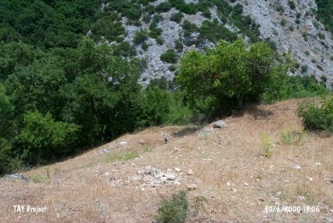 |
|
Type:
|
Mound |
|
Altitude:
|
137 m |
|
Region:
|
Marmara |
|
Province:
|
Çanakkale |
|
District:
|
Çan |
|
Village:
|
Altikulaç |
|
Investigation Method:
|
Survey |
|
Period:
|
|
|
|
|
 |
|
| It is located in Altikulaç Village of Can District; east of Çanakkale Province. The site lies in a mountainous terrain. To the west is Kustepe and to north Kartalkaya hills. The castle is in the deep valley that descends towards west. It was discovered in 1989 by M. Özdogan. The site had been inhabited from the EBA to the Hellenistic Period. |
| Location: |
| Geography and Environment: |
| History: |
| Research and Excavation: |
| Stratigraphy: |
| Small Finds: |
| Remains: |
| Interpretation and Dating: |