|
©The Archaeological Settlements of Turkey - TAY Project
|
|
|
|
|
|
Karaca Höyük |
|
|
For site maps and drawings please click on the picture...  |
For photographs please click on the photo... 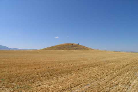 |
|
Type:
|
Mound |
|
Altitude:
|
795 m |
|
Region:
|
Aegean |
|
Province:
|
Denizli |
|
District:
|
Baklan |
|
Village:
|
Içikli |
|
Investigation Method:
|
Survey |
|
Period:
|
EBA II EBA III |
|
|
|
 |
|
| It is situated in the Baklan Plain; close to Içikli Village; east of Çal District; northeast of Denizli Province. Mellaart's map illustrates it to west of Sürmeli Höyük. Although Sürmeli Höyük was indicated in the 1:200.000 map; there is no sign for Karaca Höyük. According to J. Mellaart; it is an EBA II and III settlement. It was identified as Karaca Höyük I in his first publication. It takes place in the registered archaeological sites list prepared by Ministry of Culture and Tourism. |
| Location: |
| Geography and Environment: |
| History: |
| Research and Excavation: |
| Stratigraphy: |
| Small Finds: |
| Remains: |
| Interpretation and Dating: |