|
©The Archaeological Settlements of Turkey - TAY Project
|
|
|
|
|
|
Karaca Hirbet Ali |
|
|
For site maps and drawings please click on the picture... 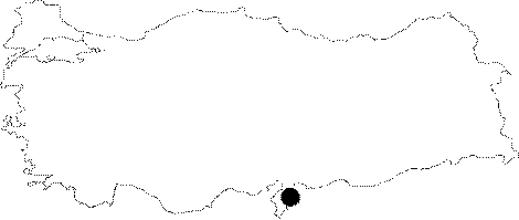 |
For photographs please click on the photo... 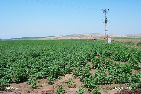 |
|
Type:
|
Mound |
|
Altitude:
|
200 m |
|
Region:
|
Mediterranean |
|
Province:
|
Hatay |
|
District:
|
Reyhanli |
|
Village:
|
|
|
Investigation Method:
|
Survey |
|
Period:
|
Early |
|
|
|
 |
|
| The broad and shallow mound; lies northeast of Hatay; 3.5 km north-northwest of Reyhanli district; north side of Afrin stream; at the first terrace of Kürt Mountain. It was discovered during the Amuq Plain Survey conducted by R.J. Braidwood in 1936. Local Halaf ware Chalcolithic Age and EBA sherds were collected from the surface. In addition; Neolithic Age finds were recovered [Harmankaya et al. 1997: Karaca Hirbet Ali]. |
| Location: This site lies 34 km northeast of the city of Antakya; 3.5 km north of the town of Reyhanli and very close to the Turkish-Syrian border. |
| Geography and Environment: The site is located on the northern bank of Afrin Stream; 300 m from the stream and southwest of the Kürt Mountains. The soil surrounding the mound is fertile. Afrin Stream; which springs from the Kürt Mountains; flows through the Amuq Plain before it empties into Lake Antioch. |
| History: |
| Research and Excavation: |
| Stratigraphy: |
| Small Finds: |
| Remains: |
| Interpretation and Dating: |