|
©The Archaeological Settlements of Turkey - TAY Project
|
|
|
|
|
|
Karaca Hirbet Ali |
|
|
For site maps and drawings please click on the picture...  |
For photographs please click on the photo... 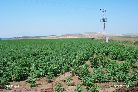 |
|
Type:
|
Mound |
|
Altitude:
|
200 m |
|
Region:
|
Mediterranean |
|
Province:
|
Hatay |
|
District:
|
Reyhanli |
|
Village:
|
|
|
Investigation Method:
|
Survey |
|
Period:
|
Ceramic |
|
|
|
 |
|
| Location: This site lies 34 km northeast of the city of Antakya; 3.5 km north of the town of Reyhanli and very close to the Turkish-Syrian border. |
| Geography and Environment: The site is located on the northern bank of Afrin Stream; 300 m from the stream and southwest of the Kürt Mountains. The soil surrounding the mound is fertile. Afrin Stream; which springs from the Kürt Mountains; flows through the Amuq Plain before it empties into Lake Antioch. |
| History: |
| Research and Excavation: The site was discovered in 1936 under the direction of R.L. Braidwood during his survey of the Amuq Plain. |
| Stratigraphy: In addition to Neolithic finds; survey at the site yielded Chalcolithic and Early Bronze Age material. |
| Small Finds: Pottery: Although it has been reported that the Dark Burnished Ware; similar to the ware found in the lowest occupational phase at Tell el Cüdeyde/Judaidah (Level XIV) was found at this site; the ware has not been described in detail. (For more information on the ceramics from this site; see Tell el-Cüdeyde/Judaidah; this volume). |
| Remains: |
| Interpretation and Dating: The ceramics from this site show close affinity with Amuq A and B affinities. Karaca Hirbet Ali can therefore be listed among the Neolithic sites in the Amuq Plain. |