|
©The Archaeological Settlements of Turkey - TAY Project
|
|
|
|
|
|
Karaburun |
|
|
For site maps and drawings please click on the picture... 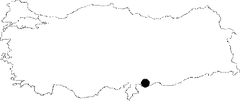 |
For photographs please click on the photo...  |
|
Type:
|
Single Findspot |
|
Altitude:
|
m |
|
Region:
|
Southeastern Anatolia |
|
Province:
|
Gaziantep |
|
District:
|
Oguzeli |
|
Village:
|
Karaburun |
|
Investigation Method:
|
Survey |
|
Period:
|
ÜP |
|
|
|
 |
|
| Location: This site is southeast of the city of Gaziantep; on the western shore of the Secir Stream; immediately north of the district of Akçakoyunlu. |
| Geography and Environment: North of the city; the Gaziantep Plain flattens as it reaches the Tilbasar and Oguzeli Plains to the south. Çiner; who researched the area; does not provide any information on the location of the site. |
| History: |
| Research and Excavation: The site was discovered by Refakat Çiner who surveyed Gaziantep province in 1950. |
| Stratigraphy: |
| Small Finds: Although Çiner reports that she found a single Aurignacien tool in the village of Karaburun; she provides no further information on this tool. |
| Remains: |
| Interpretation and Dating: |