|
©The Archaeological Settlements of Turkey - TAY Project
|
|
|
|
|
|
Karabedir |
|
|
For site maps and drawings please click on the picture...  |
For photographs please click on the photo... 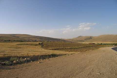 |
|
Type:
|
Mound |
|
Altitude:
|
1205 m |
|
Region:
|
Aegean |
|
Province:
|
Afyonkarahisar |
|
District:
|
Dinar |
|
Village:
|
Karabedir |
|
Investigation Method:
|
Survey |
|
Period:
|
|
|
|
|
 |
|
| It lies about 400 m southeast of Karabedir Village; north of Karakuyu Village; northeast of Dinar; south-southwest of Afyonkarahisar Province. It is indicated as an EBA settlement in the 15th page of the guide of the Afyon Archaeological Museum. However; it couldn't be found during the surveys conducted by J. Mellaart and D.H. French. |
| Location: |
| Geography and Environment: |
| History: |
| Research and Excavation: |
| Stratigraphy: |
| Small Finds: |
| Remains: |
| Interpretation and Dating: |