|
©The Archaeological Settlements of Turkey - TAY Project
|
|
|
|
|
|
Karabayir / Yayla |
|
|
For site maps and drawings please click on the picture...  |
For photographs please click on the photo... 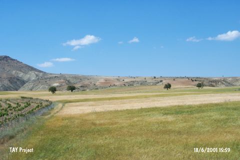 |
|
Type:
|
Mound |
|
Altitude:
|
1410 m |
|
Region:
|
Mediterranean |
|
Province:
|
Antalya |
|
District:
|
Korkuteli |
|
Village:
|
Karabayir |
|
Investigation Method:
|
Survey |
|
Period:
|
EBA II |
|
|
|
 |
|
| It lies in Çeviciler Mevkii; 350 m northeast of Karabayir Village; 18 km southwest of Korkuteli; northwest of Antalya Province. East of the mound Alacuk Çukuru Stream and southwest of it Sarap Stream flows. It is one of the earliest discovered mounds of the region. According to J. Mellaart; it is an EBA settlement. |
| Location: |
| Geography and Environment: |
| History: |
| Research and Excavation: |
| Stratigraphy: |
| Small Finds: |
| Remains: |
| Interpretation and Dating: |