|
©The Archaeological Settlements of Turkey - TAY Project
|
|
|
|
|
|
Karabas |
|
|
For site maps and drawings please click on the picture...  |
For photographs please click on the photo... 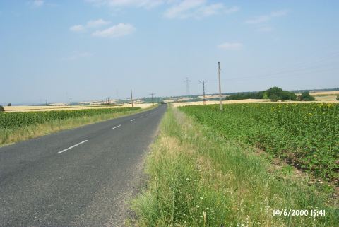 |
|
Type:
|
Flat Settlement |
|
Altitude:
|
100 m |
|
Region:
|
Marmara |
|
Province:
|
Edirne |
|
District:
|
Süloglu |
|
Village:
|
Merkez |
|
Investigation Method:
|
Survey |
|
Period:
|
Late |
|
|
|
 |
|
| The site; slightly cut by Edirne-Süloglu road; lies northeast of Edirne; 2 km southwest of Süloglu district. It is on the Edirne-Süloglu motorway; 3.1 km after the village of Geçkinli. The elevation of this flat settlement can be noticed from the road. It is surrounded by cultivated fields and lies in the middle of a plain. A river channel runs from its south. It was discovered during the Edirne Survey conducted by B. Erdogu in 1995. The collected sherds from the surface; contemporary with Karanova V-VI and Gumelnitza; date to the Balkan Chalcolithic Age and Anatolian Late Chalcolithic Age. |
| Location: |
| Geography and Environment: |
| History: |
| Research and Excavation: |
| Stratigraphy: |
| Small Finds: |
| Remains: |
| Interpretation and Dating: |