|
©The Archaeological Settlements of Turkey - TAY Project
|
|
|
|
|
|
Karaaliler |
|
|
For site maps and drawings please click on the picture... 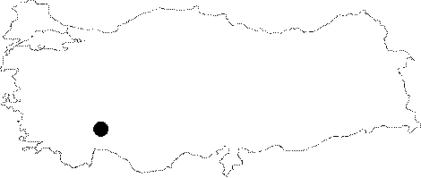 |
For photographs please click on the photo... 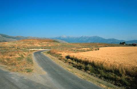 |
|
Type:
|
Mound |
|
Altitude:
|
770 m |
|
Region:
|
Mediterranean |
|
Province:
|
Burdur |
|
District:
|
Bucak |
|
Village:
|
Karaaliler |
|
Investigation Method:
|
Survey |
|
Period:
|
|
|
|
|
 |
|
| The site lies immediate east of Karaaliler Village; southwest of Bucak District of Burdur Province. It consists of two mounds adjacent to each other. It was discovered by J. Mellaart and dated to EBA. The survey conducted by M. Özsait in 1984 also yielded pottery of the Late Neolithic and Early Chalcolithic Ages on the foothill. It takes place in the registered archaeological sites list prepared by Ministry of Culture and Tourism. |
| Location: The site lies immediate east of Karaaliler Village; southwest of Bucak District of Burdur Province. |
| Geography and Environment: The site lies on the eastern side of now dried-up Kestel Lake. The real name of the site is Karaali; after the Karaali Farm. The mound is actually made up of two small adjacent mounds. |
| History: |
| Research and Excavation: |
| Stratigraphy: |
| Small Finds: |
| Remains: |
| Interpretation and Dating: |