|
©The Archaeological Settlements of Turkey - TAY Project
|
|
|
|
|
|
Karaaliler |
|
|
For site maps and drawings please click on the picture... 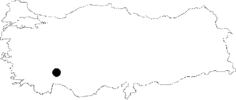 |
For photographs please click on the photo... 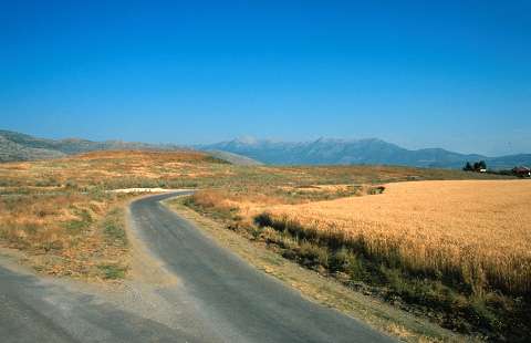 |
|
Type:
|
Mound |
|
Altitude:
|
770 m |
|
Region:
|
Mediterranean |
|
Province:
|
Burdur |
|
District:
|
Bucak |
|
Village:
|
Karaaliler |
|
Investigation Method:
|
Survey |
|
Period:
|
Early |
|
|
|
 |
|
| The site lies immediate east of Karaaliler Village; southwest of Bucak District of Burdur Province. It was first reported as an EBA mound by J. Mellaart. According to the surface collection of Özsait in 1984; monochrome and painted sherds; dating to the Late Neolithic Age-Early Chalcolithic Age; were found on the surface. It takes place in the registered archaeological sites list prepared by Ministry of Culture and Tourism. |
| Location: The site lies immediate east of Karaaliler Village; southwest of Bucak District of Burdur Province. |
| Geography and Environment: The site lies on the eastern side of now dried-up Kestel Lake. The real name of the site is Karaali; after the Karaali Farm. The mound is actually made up of two small adjacent mounds. |
| History: |
| Research and Excavation: |
| Stratigraphy: |
| Small Finds: |
| Remains: |
| Interpretation and Dating: |