|
©The Archaeological Settlements of Turkey - TAY Project
|
|
|
|
|
|
Karaagaçlar |
|
|
For site maps and drawings please click on the picture...  |
For photographs please click on the photo... 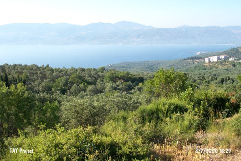 |
|
Type:
|
Mound |
|
Altitude:
|
10 m |
|
Region:
|
Marmara |
|
Province:
|
Balikesir |
|
District:
|
Bandirma |
|
Village:
|
Edincik |
|
Investigation Method:
|
Survey |
|
Period:
|
EBA I |
|
|
|
 |
|
| It lies on the shore of the Marmara Sea; 1 km north of Edincik Village of Bandirma District; Balikesir Province. The site is also known as Narlik Höyük. It was discovered in 1989 during the Balikesir Survey conducted by M. Özdogan. Materials of the Late Chalcolithic Age and the beginning of EBA were collected from the surface. The mound has been severely damaged; and only a small part has been left. Code G 8/8. |
| Location: |
| Geography and Environment: |
| History: |
| Research and Excavation: |
| Stratigraphy: |
| Small Finds: |
| Remains: |
| Interpretation and Dating: |