|
©The Archaeological Settlements of Turkey - TAY Project
|
|
|
|
|
|
Karaagaç 2 |
|
|
For site maps and drawings please click on the picture...  |
For photographs please click on the photo... 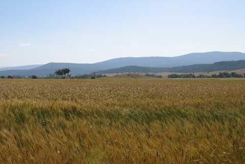 |
|
Type:
|
Mound |
|
Altitude:
|
1050 m |
|
Region:
|
Aegean |
|
Province:
|
Kütahya |
|
District:
|
Altintas |
|
Village:
|
Karaagaç |
|
Investigation Method:
|
Survey |
|
Period:
|
EBA II EBA III EBA I |
|
|
|
 |
|
| It lies 200 m north of the Altintas-Pinarcik road; northwest of Karaagaç Village; west of Altintas District; Kütahya Province. To its north flows a small stream. During a survey conducted in 1991 by T. Efe; EBA I and II-III materials were collected from the surface. The mound measures 125x10 m. Also found is the material of the first millennium BC. |
| Location: |
| Geography and Environment: |
| History: |
| Research and Excavation: |
| Stratigraphy: |
| Small Finds: |
| Remains: |
| Interpretation and Dating: |