|
©The Archaeological Settlements of Turkey - TAY Project
|
|
|
|
|
|
Kapici Mahallesi Mevkii |
|
|
For site maps and drawings please click on the picture...  |
For photographs please click on the photo... 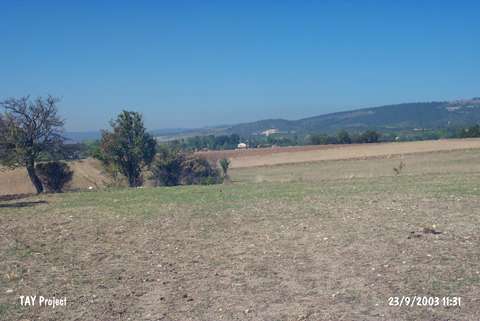 |
|
Type:
|
Flat Settlement |
|
Altitude:
|
960 m |
|
Region:
|
Black Sea |
|
Province:
|
Kastamonu |
|
District:
|
Merkez |
|
Village:
|
Yürekveren |
|
Investigation Method:
|
Survey |
|
Period:
|
Late |
|
|
|
 |
|
| The site is located south of Susuz Stream; 500 m northeast of Yürekveren Village; north of Kastamonu. The hill called Yumru is northeast of the site. It was discovered during the Kastamonu Survey conducted by A. Özdogan; C. Marro and A. Tibet in 1995. The collected sherds from an area of 100x100 m suggest a Late Chalcolithic Age settlement. The location code of the site is B 32 / 3. |
| Location: |
| Geography and Environment: |
| History: |
| Research and Excavation: |
| Stratigraphy: |
| Small Finds: |
| Remains: |
| Interpretation and Dating: |