|
©The Archaeological Settlements of Turkey - TAY Project
|
|
|
|
|
|
Kanlica |
|
|
For site maps and drawings please click on the picture...  |
For photographs please click on the photo... 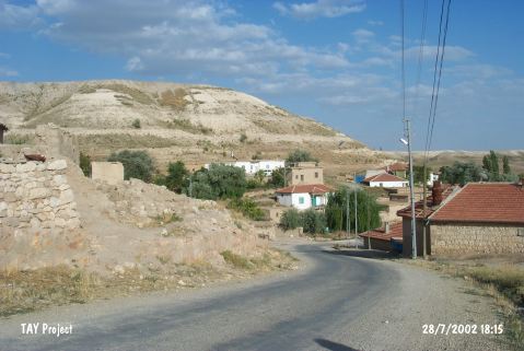 |
|
Type:
|
Mound |
|
Altitude:
|
1040 m |
|
Region:
|
Central Anatolia |
|
Province:
|
Nevsehir |
|
District:
|
Kozakli |
|
Village:
|
Kanlica |
|
Investigation Method:
|
Excavation |
|
Period:
|
|
|
|
|
 |
|
| It lies on a natural hill which is called Kocatepe; 3 km east of Kanlica Village; 10 km north-northeast of Kozakli District of Nevsehir Province. The former location of Kanlica Village is on the skirts of the hill. The site lies west of Değirmenönü Plain and north of Kanlica train station. |
| Location: |
| Geography and Environment: |
| History: |
| Research and Excavation: |
| Stratigraphy: |
| Small Finds: |
| Remains: |
| Interpretation and Dating: |