|
©The Archaeological Settlements of Turkey - TAY Project
|
|
|
|
|
|
Kanatpinar / Devret |
|
|
For site maps and drawings please click on the picture...  |
For photographs please click on the photo... 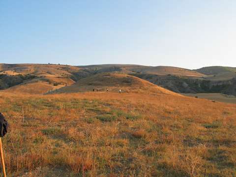 |
|
Type:
|
Mound |
|
Altitude:
|
665 m |
|
Region:
|
Black Sea |
|
Province:
|
Amasya |
|
District:
|
Suluova |
|
Village:
|
Kanatpinar |
|
Investigation Method:
|
Excavation |
|
Period:
|
|
|
|
|
 |
|
| The mound; located on a natural elevation; lies west of Amasya; 2 km northeast of Kanatpinar village; in Devret Mevkii. It was discovered in 1987 by M. Özsait and named as Kanatpinar. Sherds in the forms and characteristics of the Chalcolithic Age and abundant EBA sherds were collected from the surface. It is a debatable site for the Chalcolithic Age. |
| Location: Devret Höyük is located 40 km northwest of the city center of Amasya, 28 km southeast of Merzifon District, 13 km south of Suluova District and situated in Devret Mevkii that is 2 km northeast of Kanatpinar (Gödelez) Village [Türker 2015:363]. |
| Geography and Environment: Devret Höyük is situated on the ridge that begins from the metamorphic debris of Çakirdag formed with sedimentary and schist rocks extending in the east-west direction and continues towards Suluova Plain. The ridge descends from south to north in the form of natural terraces and there are two valleys enlarging towards the north on both side of the ridge [Türker 2015:363]. |
| History: |
| Research and Excavation: |
| Stratigraphy: |
| Small Finds: |
| Remains: |
| Interpretation and Dating: |