|
©The Archaeological Settlements of Turkey - TAY Project
|
|
|
|
|
|
Alpanoz |
|
|
For site maps and drawings please click on the picture...  |
For photographs please click on the photo... 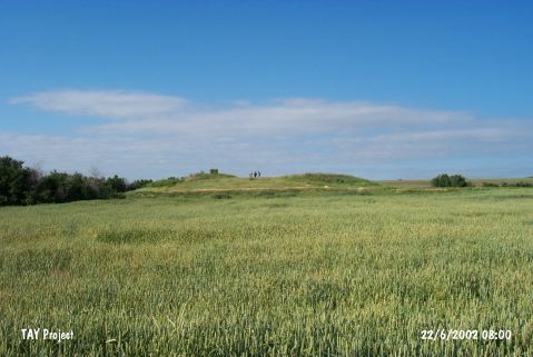 |
|
Type:
|
Mound |
|
Altitude:
|
985 m |
|
Region:
|
Central Anatolia |
|
Province:
|
Eskisehir |
|
District:
|
Seyitgazi |
|
Village:
|
Sarayören |
|
Investigation Method:
|
Survey |
|
Period:
|
EBA II EBA III |
|
|
|
 |
|
| It lies 1 km east of the Eskisehir-Seyitgazi Highway; 12 km away from Seyitgazi; south of Eskisehir Province. It is located 600 m east of the road 1.8 km east-southeast of Sarayönü (Alpanoz) Village. It was discovered in 1993 during a survey conducted in Kütahya; Bilecik and Eskisehir by T. Efe. It measures 100 m in diameter and 5 m in height. Sherds recovered from the mound expose the presence of an EBA settlement. Also found are sherds dating from the second millennium BC and the Phrygian Period. The surface has been severely eroded. It takes place in the registered archaeological sites list prepared by Ministry of Culture and Tourism. |
| Location: |
| Geography and Environment: |
| History: |
| Research and Excavation: |
| Stratigraphy: |
| Small Finds: |
| Remains: |
| Interpretation and Dating: |