|
©The Archaeological Settlements of Turkey - TAY Project
|
|
|
|
|
|
Kalemeydani Höyük |
|
|
For site maps and drawings please click on the picture...  |
For photographs please click on the photo... 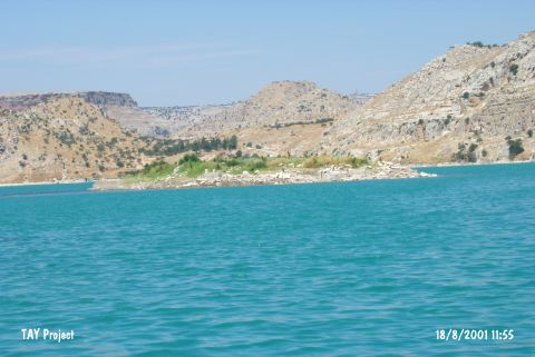 |
|
Type:
|
Mound |
|
Altitude:
|
530 m |
|
Region:
|
Southeastern Anatolia |
|
Province:
|
Gaziantep |
|
District:
|
Nizip |
|
Village:
|
Kalemeydani |
|
Investigation Method:
|
Survey |
|
Period:
|
Middle |
|
|
|
  |
|
| The conical; broad; 120x75 m mound; measuring 7 m in height; lies northeast of the city of Gaziantep and of Nizip; west of Kalemeydani village. Endangered by Birecik Dam; the site covers an area of 0.9 hectares; and has low terraces. The mound was discovered during the 1989-91 survey by G. Algaze around the sites that were going to be inundated. Coba bowls of Ubaid Period and sherds dating to the EBA 3-MBA. A little amount of Islamic Period sherds were also found. |
| Location: |
| Geography and Environment: |
| History: |
| Research and Excavation: |
| Stratigraphy: |
| Small Finds: |
| Remains: |
| Interpretation and Dating: |

