|
©The Archaeological Settlements of Turkey - TAY Project
|
|
|
|
|
|
Kalecik |
|
|
For site maps and drawings please click on the picture...  |
For photographs please click on the photo... 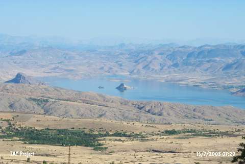 |
|
Type:
|
Flat Settlement |
|
Altitude:
|
m |
|
Region:
|
Eastern Anatolia |
|
Province:
|
Elazig |
|
District:
|
Merkez |
|
Village:
|
|
|
Investigation Method:
|
Excavation |
|
Period:
|
|
|
|
|
 |
|
| It is a stepped flat settlement; located on the southern bank of the Murat Suyu; northeast of the Karatas rock shelter; north-northeast of Elazig Province [Kökten 1974: pl.6/ pic.1-2]. The northern part lies on the southern slope of a high rocky hill. The eastern and western parts are surrounded by smaller rocks. A trench of 2x6 m opened in 1971 by K. Kökten yielded finds all dating from the EBA [Kökten 1974:pl.28-29]. Only a few sherds was published. It is reported that no other industry other than the industry of EBA was revealed. There are sherds decorated with incisions and excisions. |
| Location: |
| Geography and Environment: |
| History: |
| Research and Excavation: |
| Stratigraphy: |
| Small Finds: |
| Remains: |
| Interpretation and Dating: |