|
©The Archaeological Settlements of Turkey - TAY Project
|
|
|
|
|
|
Kaleboynu |
|
|
For site maps and drawings please click on the picture...  |
For photographs please click on the photo... 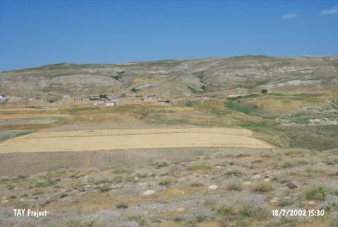 |
|
Type:
|
Flat Settlement |
|
Altitude:
|
735 m |
|
Region:
|
Central Anatolia |
|
Province:
|
Çorum |
|
District:
|
Sungurlu |
|
Village:
|
Resüloglu |
|
Investigation Method:
|
Survey |
|
Period:
|
|
|
|
|
 |
|
| It lies southwest of abandoned Resuloglu Village; northwest of Sungurlu; west-southwest of Çorum Province. It was first identified as a Roman-Middle Age settlement by von der Osten. Afterwards; during the surface collection carried out by T. Sipahi and T. Yildirim in 1997; sherds probably dating from the EBA; the first millennium BC and the Classical Period were collected from the slopes and the surrounding territory. This site exposes the possibility of presence of the prehistoric settlements beneath the late period settlements. |
| Location: |
| Geography and Environment: |
| History: |
| Research and Excavation: |
| Stratigraphy: |
| Small Finds: |
| Remains: |
| Interpretation and Dating: |