|
©The Archaeological Settlements of Turkey - TAY Project
|
|
|
|
|
|
Kale Tepe 2 |
|
|
For site maps and drawings please click on the picture...  |
For photographs please click on the photo... 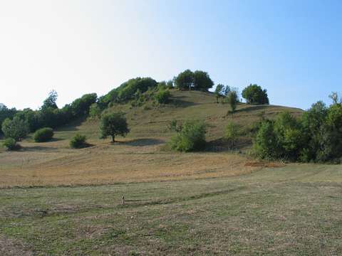 |
|
Type:
|
Mound |
|
Altitude:
|
820 m |
|
Region:
|
Black Sea |
|
Province:
|
Samsun |
|
District:
|
Ladik |
|
Village:
|
Seyhli |
|
Investigation Method:
|
Survey |
|
Period:
|
|
|
|
|
 |
|
| It is a high mound with steep slopes that lies approximately 1 km southwest of the village of Karaabdal in the district of Ladik; province of Samsun. Karaabdal stream flows to the north-northeast of it. The mound was discovered by D.H. French and noted as one of the EBA settlements of the region. |
| Location: |
| Geography and Environment: |
| History: |
| Research and Excavation: |
| Stratigraphy: |
| Small Finds: |
| Remains: |
| Interpretation and Dating: |